Four Days Marches → poster
The Four Days Marches on your wall.
Four days, four routes, every morning from the Wedren: the Betuwe, the river Maas, the Seven Hills and finally the Via Gladiola. Put your Four Days Marches on one poster — with your distance and climbing, light or dark.
Two styles
Light or dark, in green
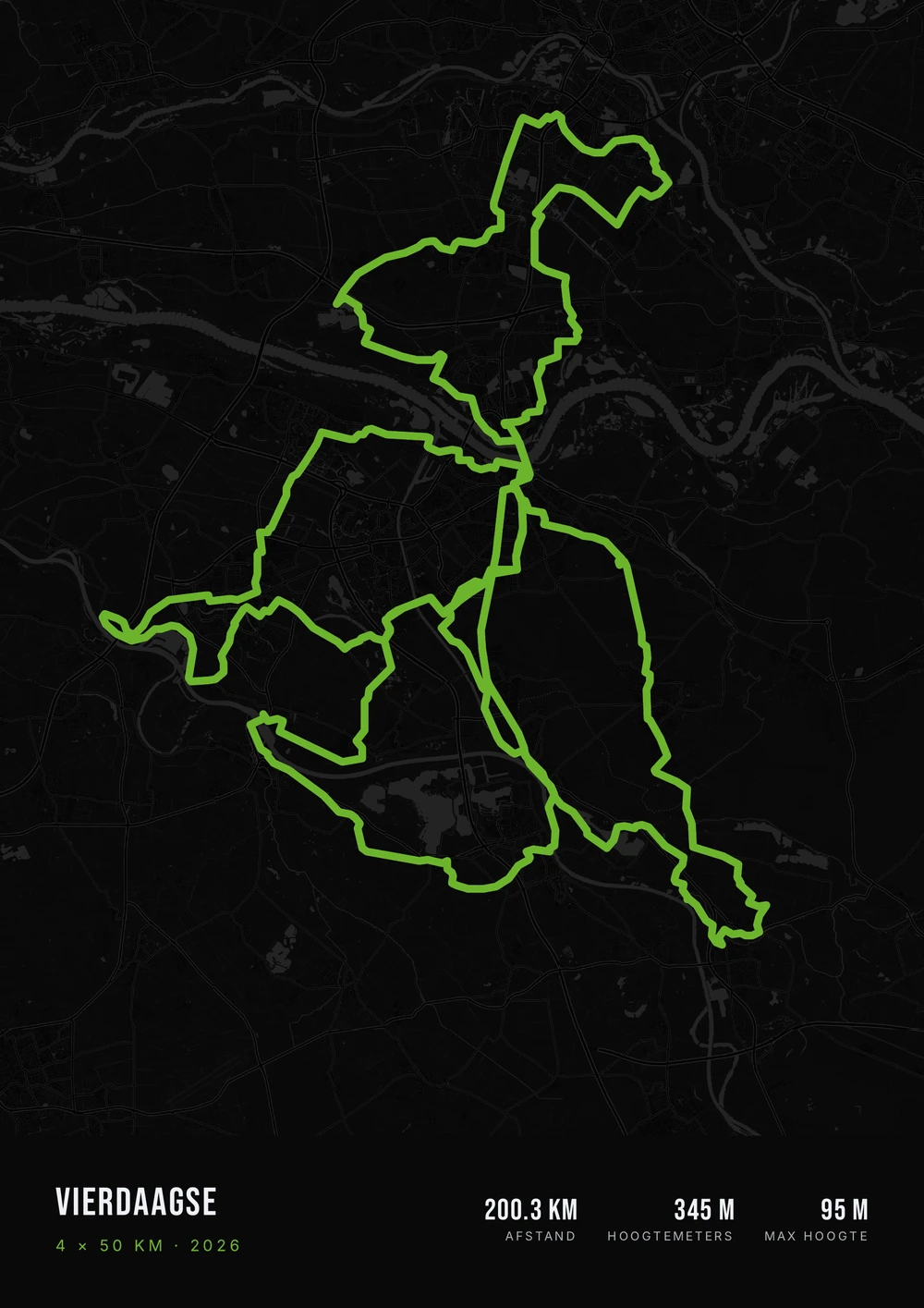
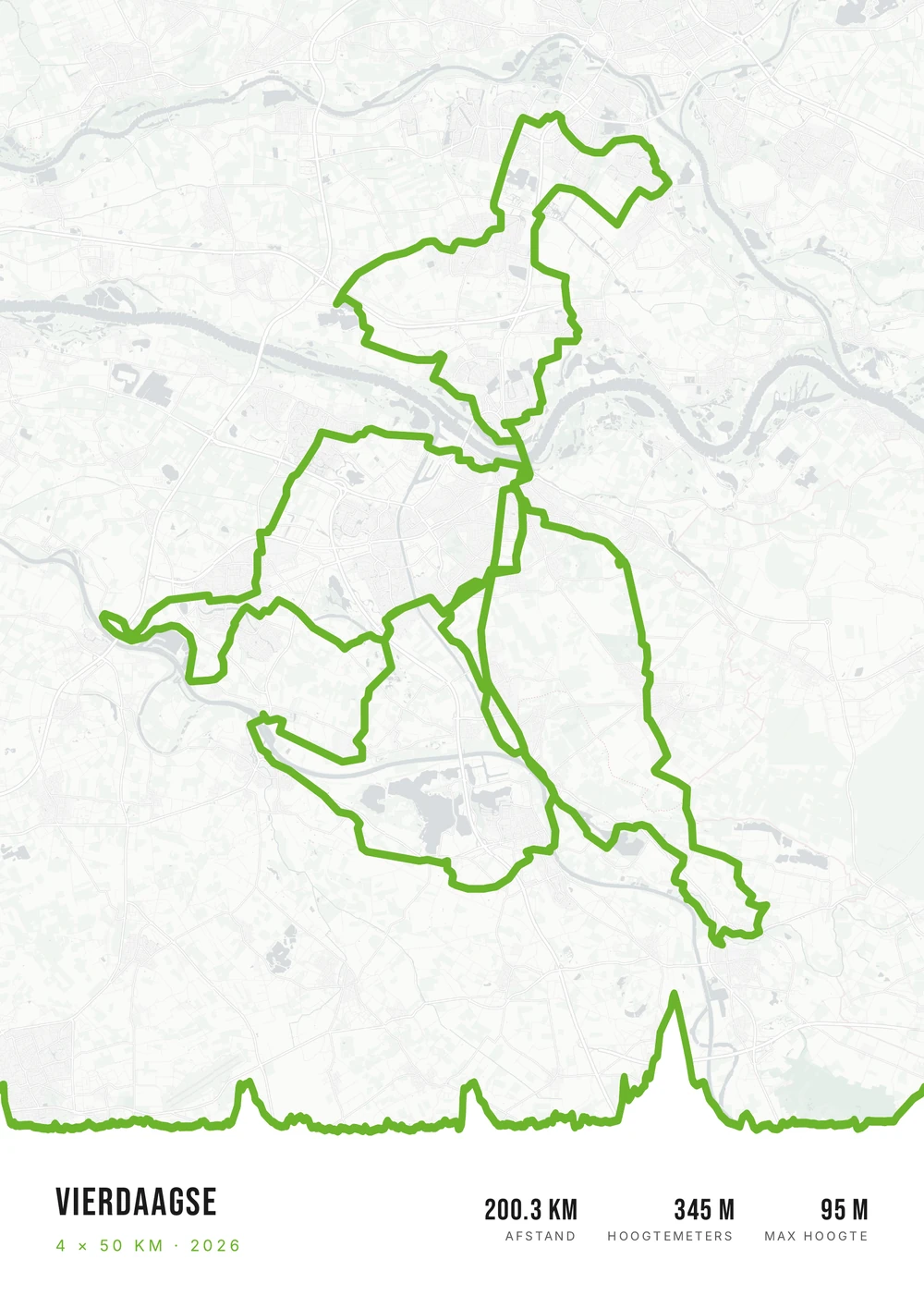
Route Frame's standard styles, with the route in the green of the Four Days logo. Both posters were made with the editor — so it works with your routes too.
-
01 · Light A light map with all four days in green, and the Seven Hills of day 3 in the elevation profile. -
02 · Dark A dark map with the four routes in green; the shape of the week stands out.
4 × 50 km from Nijmegen
Four days on one map
According to the organisers, the Four Days Marches is the largest multi-day walking event in the world. Every July, tens of thousands of walkers cover 30, 40 or 50 kilometres on four days in a row, and every day starts and ends in Nijmegen.
On a map the four routes form a recognisable shape around the city: north into the Betuwe, west towards the Maas, south over the Seven Hills and back via Grave and Cuijk. It is not one walk but your whole week — and with the cross in your pocket, it belongs on the wall.
You merge the GPX files of the four days into one file and upload it; Route Frame's free merge tool does that in a few steps. You fill in the title and subtitle yourself, and choose which numbers to show: distance, climbing or the highest point.
The course
What you see on the 50 km routes
- Start and finish
- The Wedren, Nijmegen
- Distances
- 30, 40 or 50 km a day
- When
- Every year in July
- Example
- 4 × 50 km (2026)
-
Day 1 · Elst
Over the Waal bridge into the Betuwe, via Oosterhout, Valburg and Elst, and back via Huissen, Bemmel and Lent.
-
Day 2 · Wijchen
Via Hatert to Balgoij and Niftrik on the Maas, and back via Alverna, Beuningen and Weurt over the Waal bridge.
-
Day 3 · Groesbeek
Along the Maas via Mook, Plasmolen and Milsbeek to Groesbeek and the Zevenheuvelenweg: the toughest day of the week.
-
Day 4 · Cuijk
Via Overasselt to Grave and Cuijk, back via Mook and Molenhoek, and to finish, the final march down the Via Gladiola.
After the final march
From four days to one poster
Export the four days from Strava, Garmin Connect or your watch app as GPX files and merge them. Upload the file below; the title and subtitle are already filled in.
Four Days Marches → poster
Frequently asked questions
-
Can I put all four days on one poster?
Yes. Merge the four GPX files with Route Frame's free merge tool and upload the result. The poster then shows the whole week on one map.
-
Can I put just one day on a poster?
Yes. Upload only the file of that day, for example day 3 over the Seven Hills.
-
I walked 30 or 40 km a day. Does that work too?
Yes. The poster uses your own file, so the route and distance match what you walked.
-
Why is there no time on the examples?
Over four days of walking, the total time says little. The examples show distance, climbing and the highest point; in the editor you choose which numbers to show, including the duration or the date.
-
Can I give it as a gift to someone who walked the Four Days?
Of course. Ask for the GPX files of the four days and put the walker's name in the title. You get a PDF that you have printed and framed yourself — a nice spot next to the cross.
-
Is Route Frame affiliated with the Four Days Marches?
No. Route Frame is an independent poster maker. The colours on this page are a nod to the event; we do not use logos or official imagery.
Ready to frame your Four Days Marches?
Upload your merged GPX. The title and subtitle are already filled in — add your name or the year.
Opens the editor with a real 151 km ride through South Limburg. Everything is editable, and you can still upload your own GPX afterwards.
Route Frame is not affiliated with the International Four Days Marches Nijmegen or its organisers. The example posters use the four 50 km routes of 2026, with elevation from a public elevation map.