Climb → poster
Your climb on the wall.
Alpe d'Huez, Mont Ventoux, the Tourmalet or that one brutal climb of your own: immortalize your ascent with the full elevation profile.
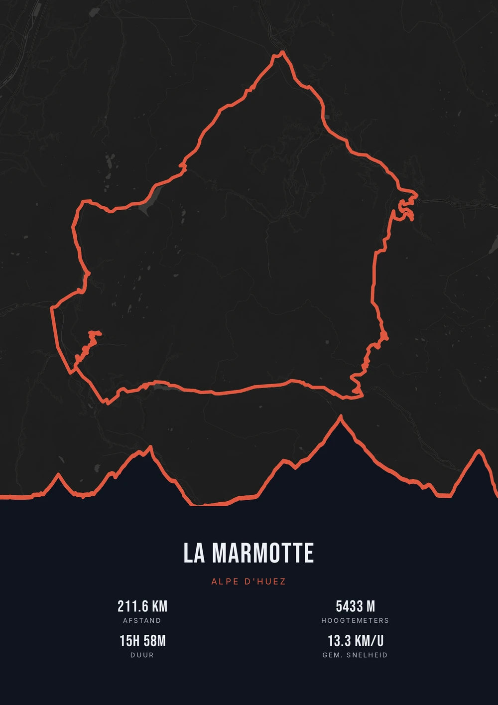
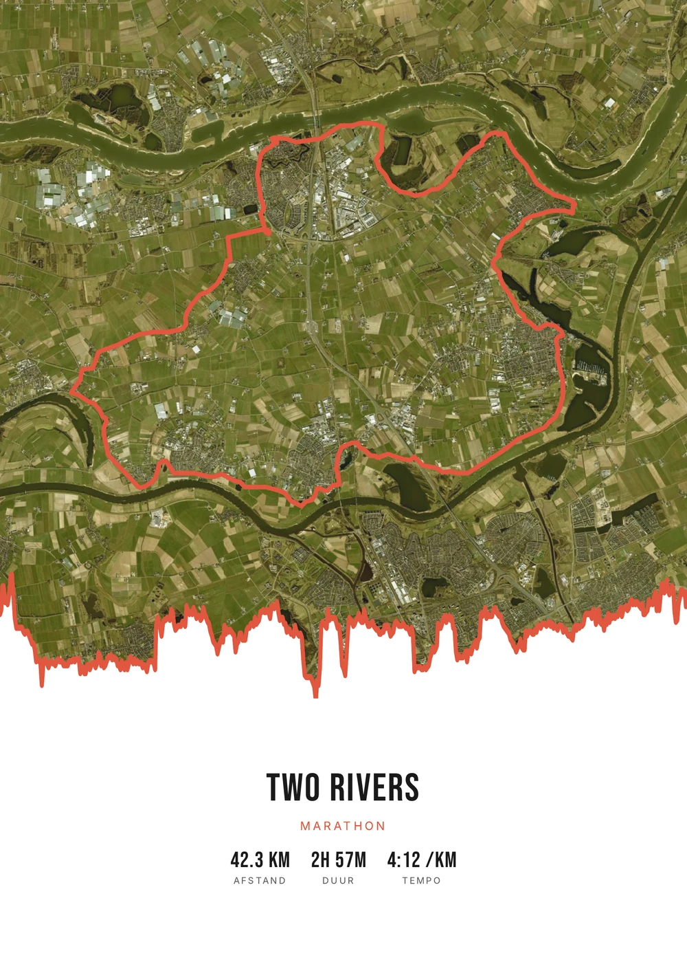
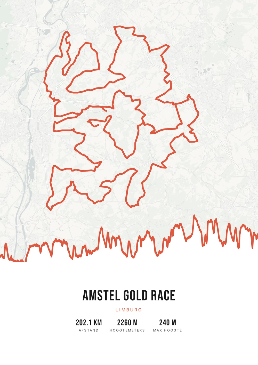
One ride. Endless looks.
Different rides, each in its own palette, map style and elevation gradient.
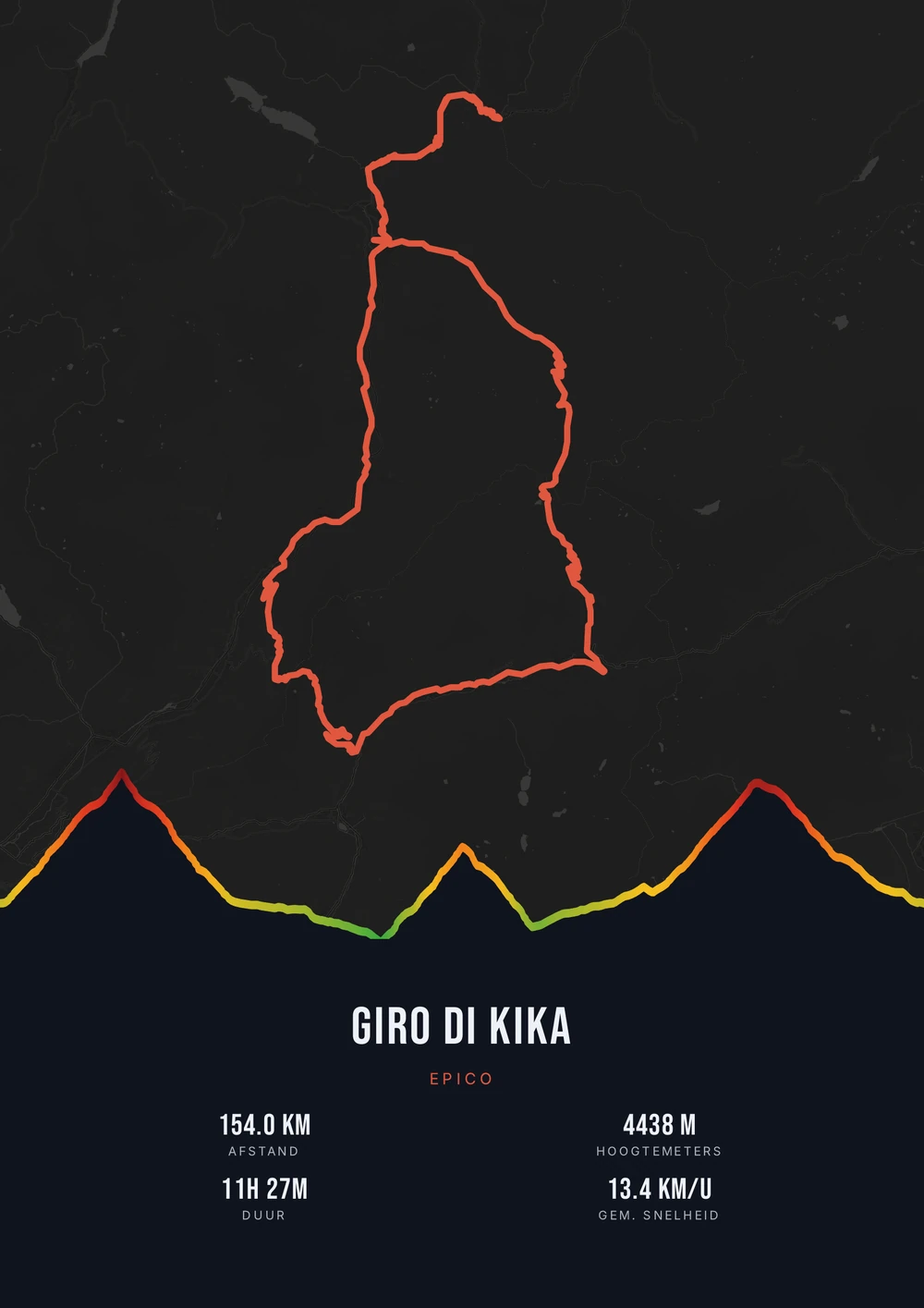
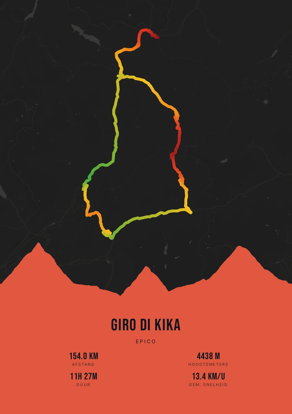
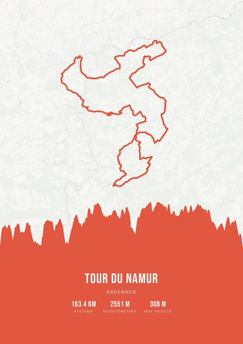
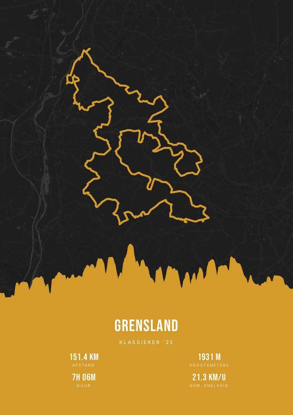
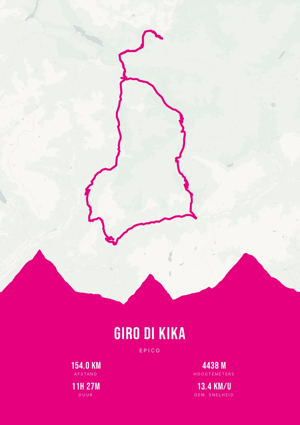
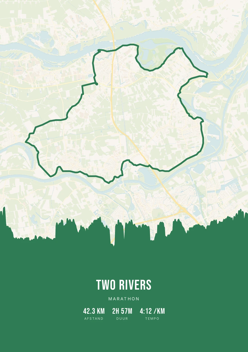
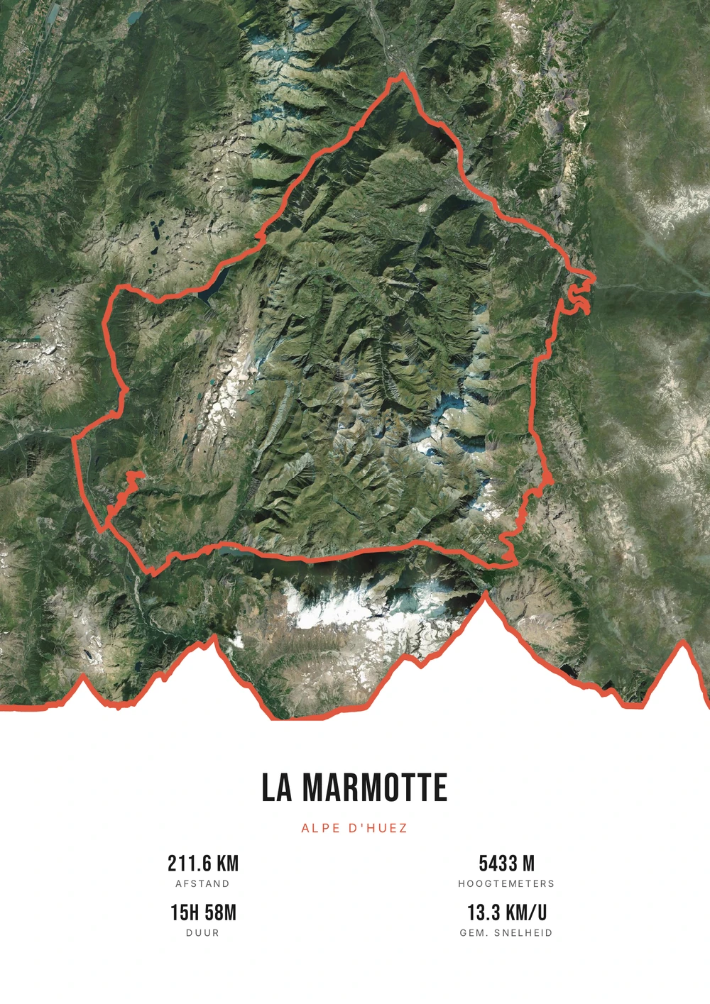
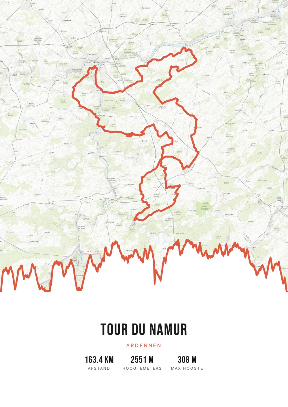
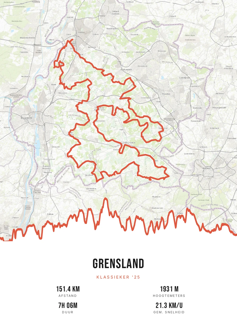
The profile as the image
On a climb, the elevation profile is the main subject
Most routes are told with a map. A climb is different: there the story sits in the side view. How much climbing, over how many kilometres, and where the gradient spiked. Anyone who has ridden the climb reads that profile as a report of the hour it took.
That makes a climb poster different in build from an ordinary route poster. The hairpins give a shape you place instantly on Alpe d'Huez or the Stelvio, and the profile below makes the effort measurable. Two elements that reinforce each other on one sheet.
Use the GPX file of the climb itself rather than the whole day's ride — that way the bends and the profile come out largest. The name of the col, the date and your time go in the title and subtitle. You get the print-ready PDF to print yourself, at any size.
The source file, not one print
Not a single print, but the high-quality PDF file itself — print and frame it however you like.
-
The elevation profile as hero
On a climb it's all about the ascent — the full profile takes center stage.
-
Print & frame yourself
At home on A4 or large at the print shop — today and again in five years.
-
Any climb in the world
From the Alps and Pyrenees to your local hill.
Coming soon: broader packages and extra sizes.
Climb → poster
From climb to poster: how it works
All you need is the GPX file of your ascent — from Strava, Garmin or your bike computer.
Step 1 of 5
Download your GPX file
Grab your ride's GPX file from Strava, Garmin and others. One little file with your route — that's all you need to start.
Step 2 of 5
Upload your GPX
Drag the file onto Route Frame or click to pick it. We read distance, elevation and duration automatically.
Step 3 of 5
Make it yours in the editor
Tune it exactly how you like: pick a color palette, map style and background, and show the elevation profile and the stats you want. Endless tweaking — free.
Step 4 of 5
Simple, secure checkout
Pay once, no subscription. Check out with confidence on a secure payment page.
Step 5 of 5
Source file and invoice by email
Right after payment you get the high-quality, print-ready PDF source file with your invoice in your inbox. Print it at home or at a print shop — now or again in five years.
Print-ready vector PDF at A4. Exactly the source file you receive after payment.
No GPX file yet?
How to export your ride
Your poster starts with a GPX — the file that holds your route. Grab it from Strava or Garmin in half a minute.
-
1
Open your activity on Strava
Go to strava.com (easiest on a computer) and open the activity you want on the poster.
-
2
Open the actions menu
Click the three dots (⋯) at the top right of the activity.
-
3
Choose ‘Export GPX’
Your GPX file downloads right away. Ready to upload.
Tip: exporting works best on the Strava website; the option is tucked away in the app. A manual activity without GPS can't be exported.
-
1
Open your ride in Garmin Connect
Go to connect.garmin.com and open the ride under ‘Activities’.
-
2
Open the top-right menu
Click the gear icon (⚙) or the three dots (⋯) above the activity.
-
3
Choose ‘Export to GPX’
The GPX file downloads. Drop it in below.
Tip: this works on connect.garmin.com. In the Garmin Connect app the option is simply called ‘Export’.
Which climb do you hang up?
From world famous to known only to you.
-
A Tour col
Alpe d'Huez, Tourmalet, Galibier or Ventoux — instantly recognisable.
-
An Italian climb
Stelvio, Mortirolo or Zoncolan, with a profile that speaks for itself.
-
A day close to home
A Limburg or Flemish hill you keep coming back to.
-
Several cols in one day
A classic sequence, merged into one profile with every climb.
Climb → poster
Frequently asked questions
-
Can I make a poster of Alpe d'Huez or Mont Ventoux?
Yes. Upload the GPX file of the climb, pick a style and download the print-ready PDF.
-
Is the elevation profile clearly shown?
Yes, the full elevation profile of the climb takes center stage on the poster.
-
Does it work with Strava and Garmin?
Yes. Export the climb as a GPX from Strava or Garmin Connect and upload it here.
-
Can I show only the climb, without the ride out to it?
Yes, and that often works better. Use a GPX of the climb alone and the hairpins and elevation profile come out large.
-
Can I put the gradient on the poster?
The elevation gain and the distance come from the file. You can put the average gradient in the subtitle, next to the name of the climb.
-
Does it work for a short climb in the Netherlands or Belgium?
Yes. A Limburg or Flemish hill of a few hundred metres works just as well; the elevation profile is scaled to the length of the climb automatically.
Ready to put your climb on the wall?
Upload your GPX and watch your poster appear in seconds.
Opens the editor with a real 151 km ride through South Limburg. Everything is editable, and you can still upload your own GPX afterwards.