Cycling route → poster
Your cycling route on the wall.
From an Alpine climb to your weekly loop: put your best ride on the wall, in your own colors, map style and with the elevation profile.
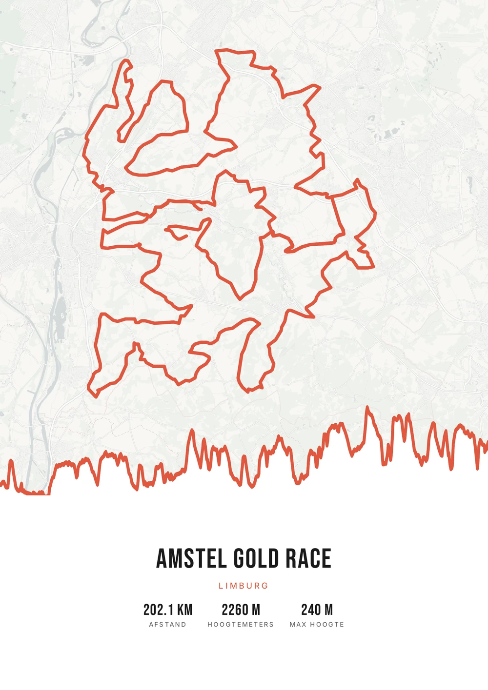
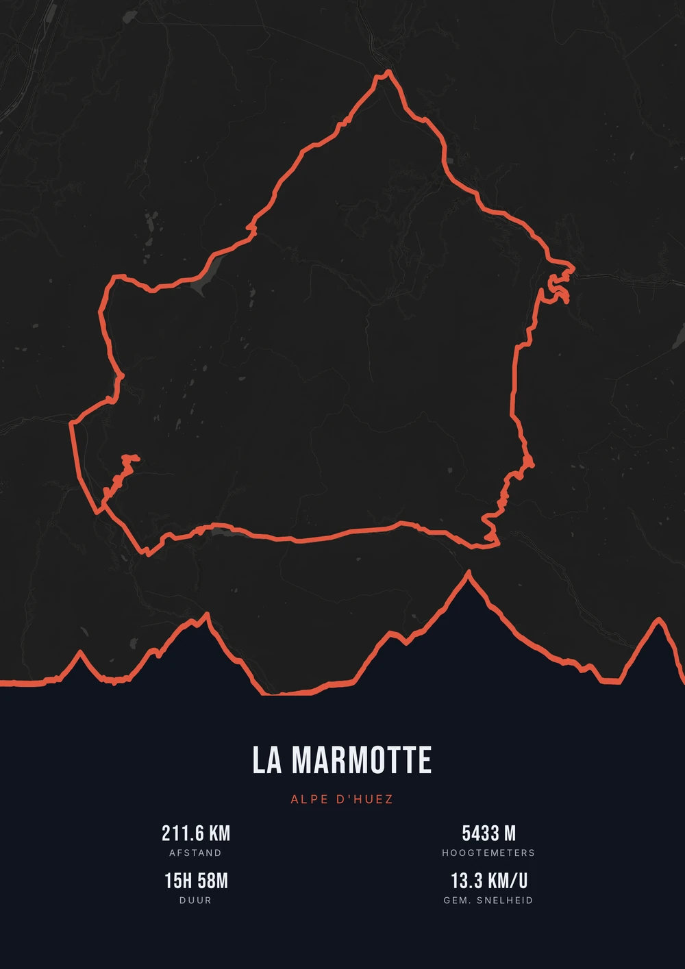
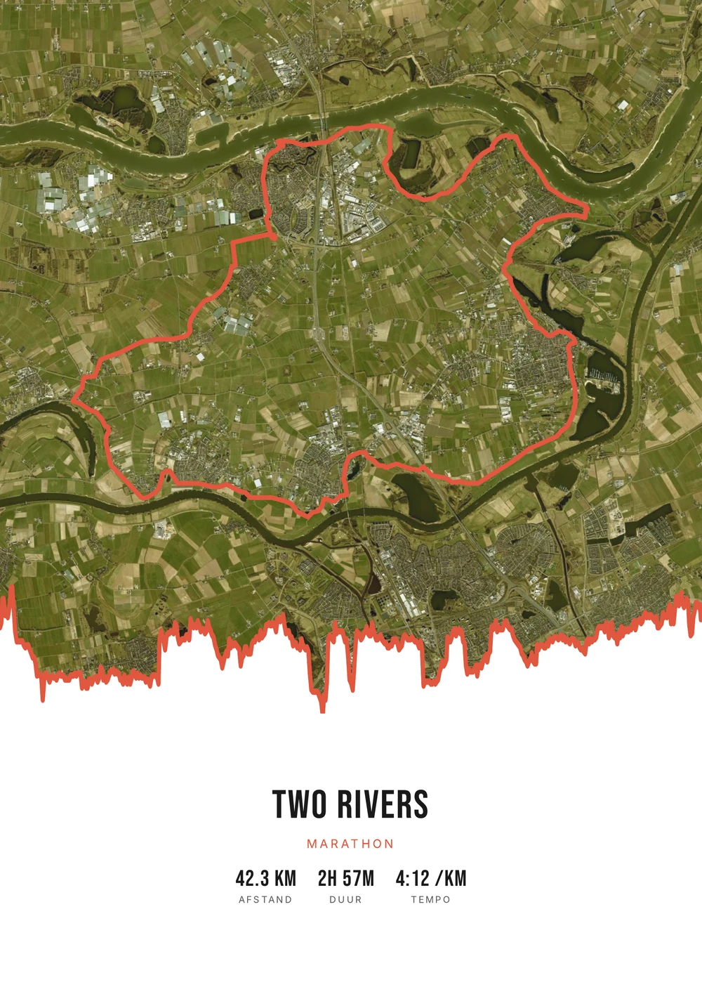
One ride. Endless looks.
Different rides, each in its own palette, map style and elevation gradient.
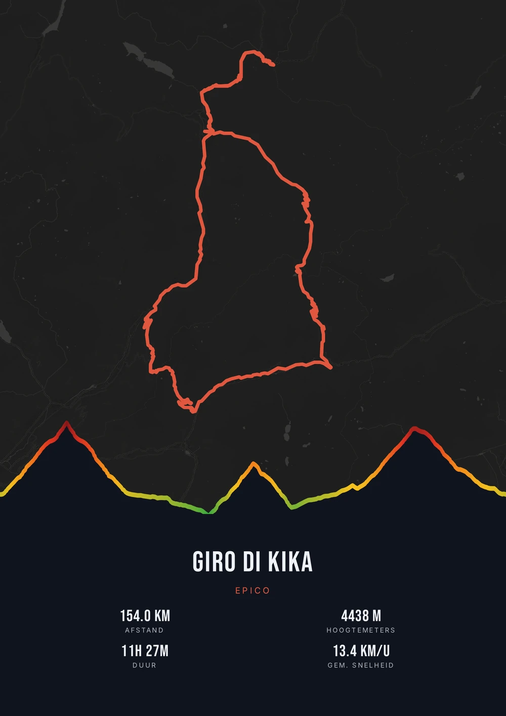
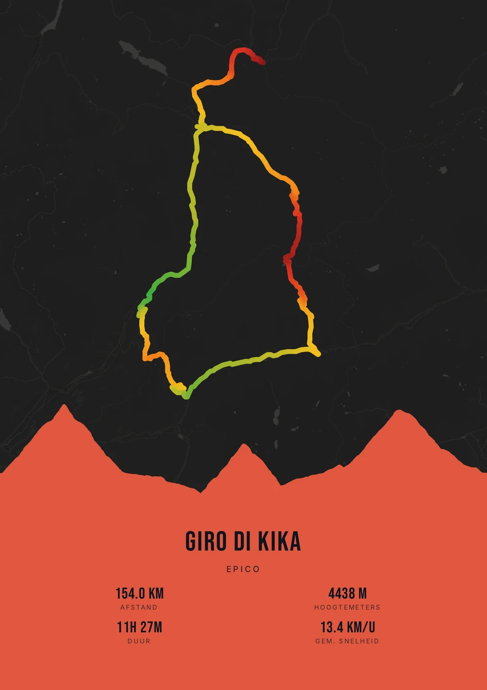
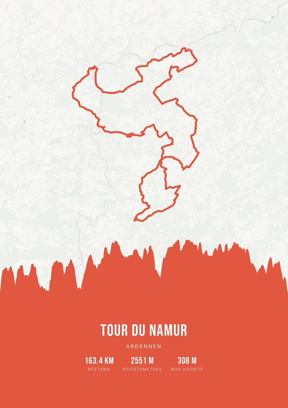
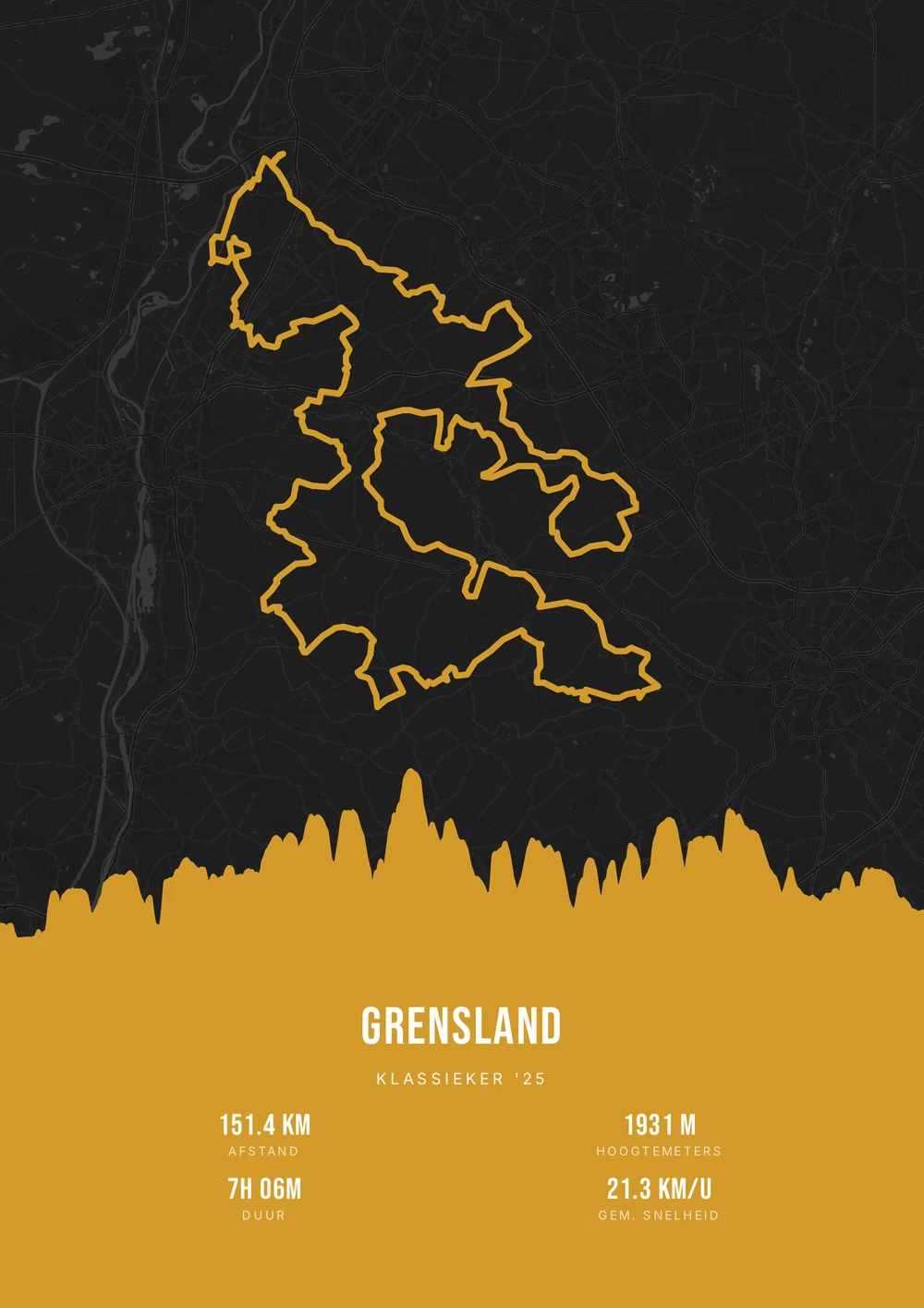
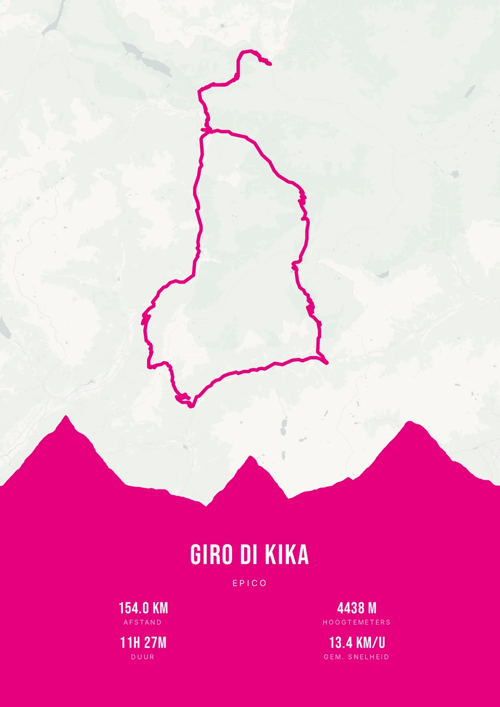
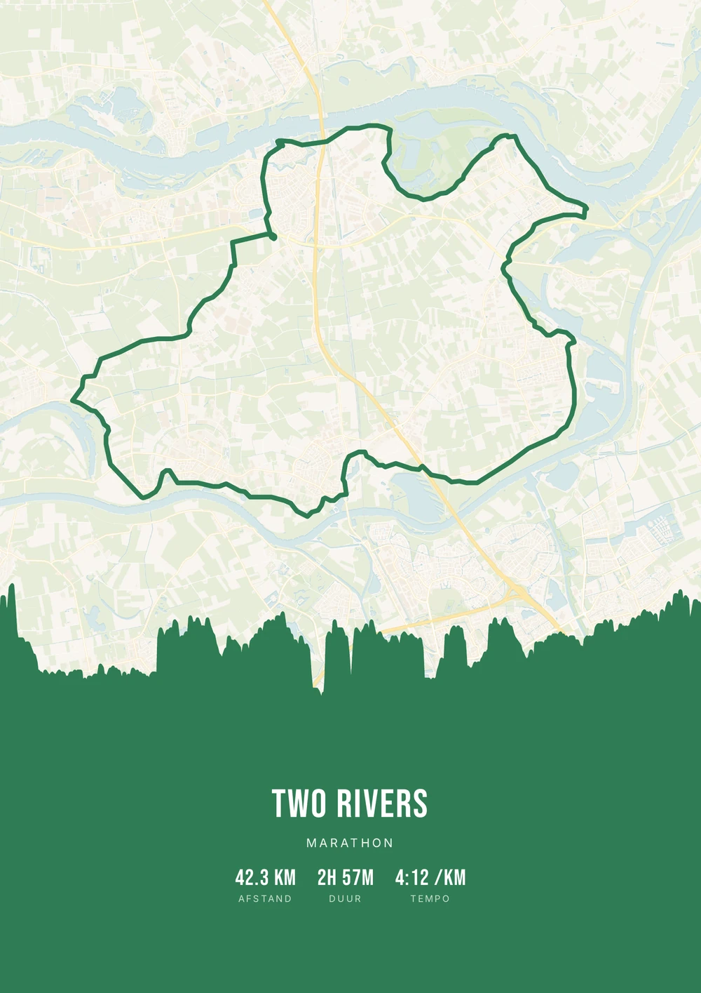
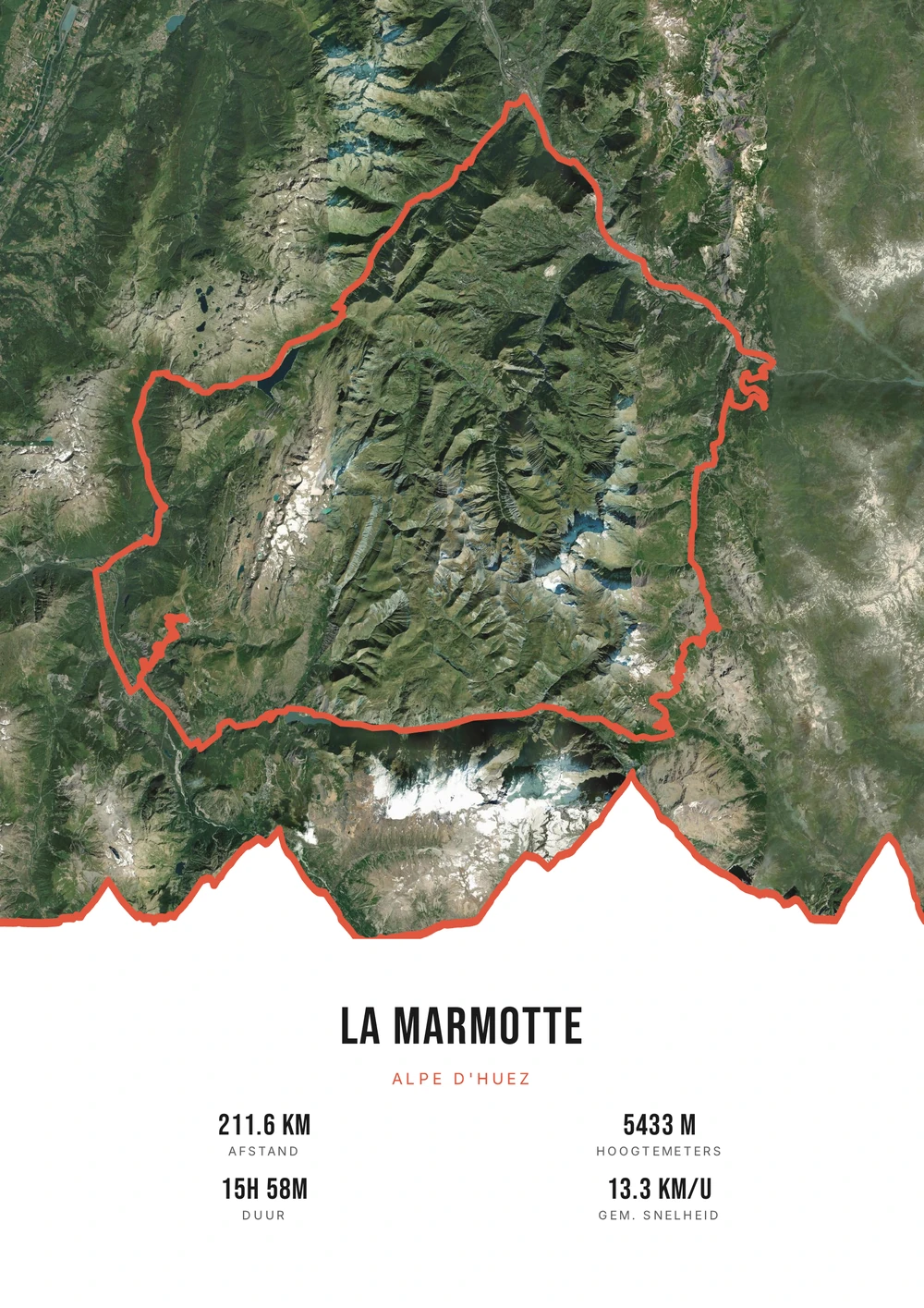
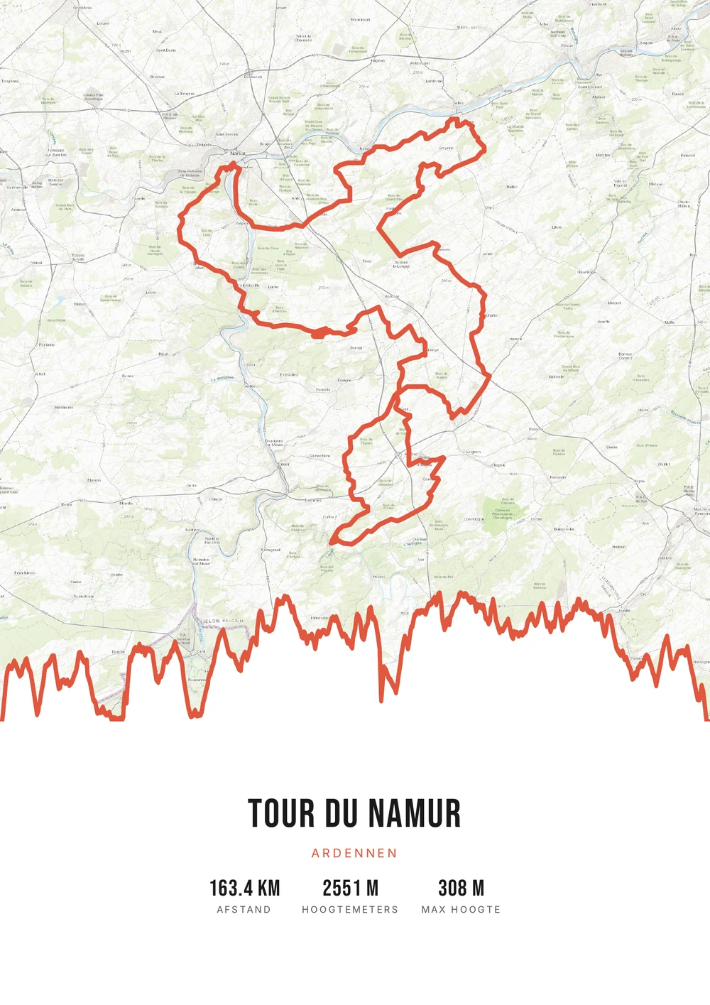
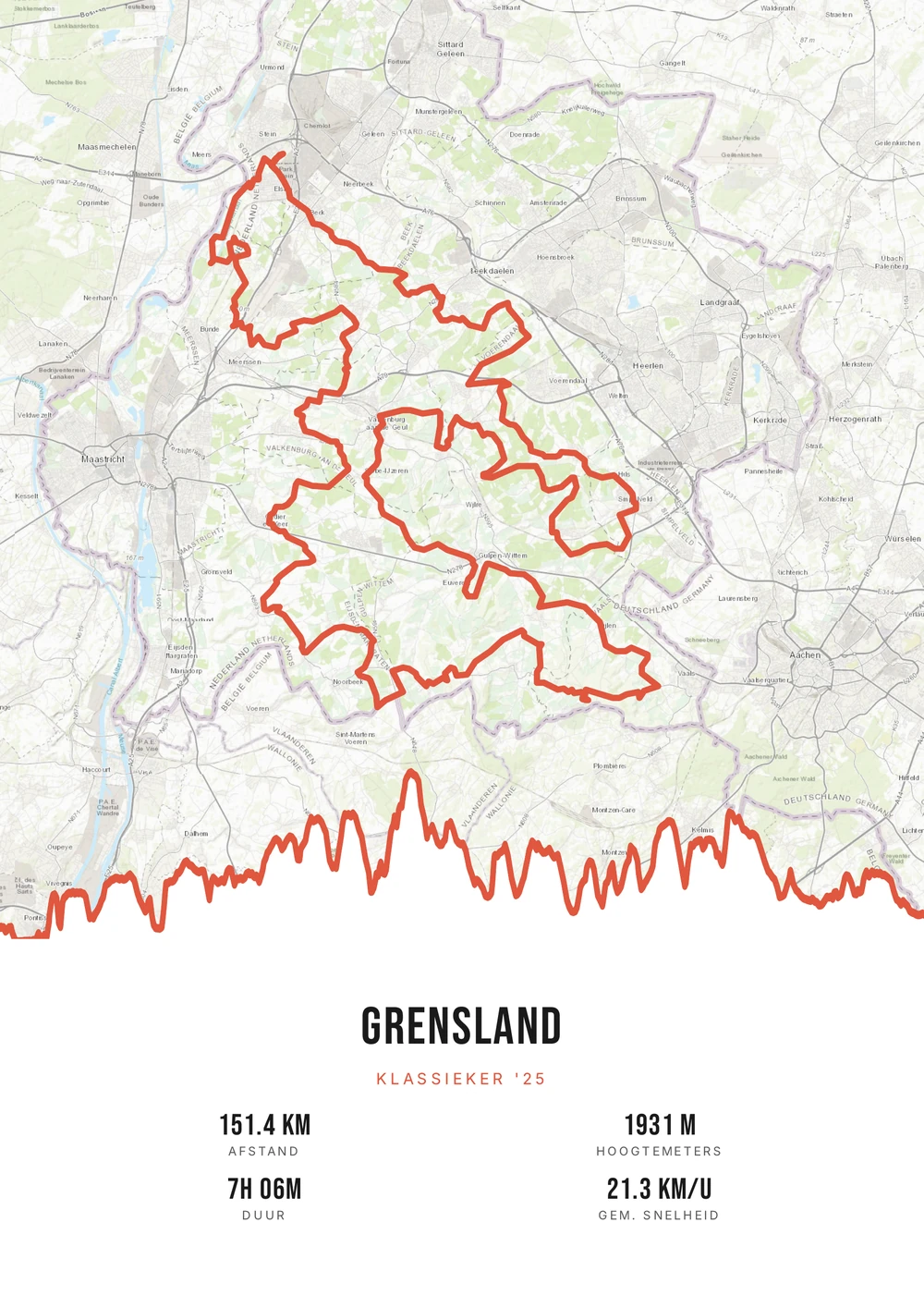
From loop to climb
Every cyclist has a handful of rides that stand out
Anyone riding regularly covers thousands of kilometres a year. Most of that is training: the same loop, the same wind, the same bridge. But there are always a few that are different — the first time over a mountain pass, a spring classic, a day when everything came together.
On paper a cycling route often works better than you'd expect. A loop around a city, a ride along the coast or a climb out of the valley has a shape that is instantly recognisable. And the elevation profile below it shows what happened in those kilometres: where it got steep and how long that lasted.
All you need is the GPX file of the ride. Route Frame reads distance, elevation and duration automatically and places the route on the map style and colour palette you choose. The result is a print-ready PDF that you print yourself — on A4 or a metre wide.
The source file, not one print
Not a single printed poster, but the high-quality PDF file itself — print and frame it however you like.
-
Endlessly your style
Switch palette, map style and stats for free until it's right.
-
Print & frame yourself
At home on A4 or large at the print shop — today and again in five years.
-
Works with any ride
A single climb, a multi-day tour or a whole season merged into one route.
Coming soon: broader packages and extra sizes.
Cycling route → poster
From cycling route to poster: how it works
All you need is the GPX file of your ride — from Strava, Garmin or your bike computer.
Step 1 of 5
Download your GPX file
Grab your ride's GPX file from Strava, Garmin and others. One little file with your route — that's all you need to start.
Step 2 of 5
Upload your GPX
Drag the file onto Route Frame or click to pick it. We read distance, elevation and duration automatically.
Step 3 of 5
Make it yours in the editor
Tune it exactly how you like: pick a color palette, map style and background, and show the elevation profile and the stats you want. Endless tweaking — free.
Step 4 of 5
Simple, secure checkout
Pay once, no subscription. Check out with confidence on a secure payment page.
Step 5 of 5
Source file and invoice by email
Right after payment you get the high-quality, print-ready PDF source file with your invoice in your inbox. Print it at home or at a print shop — now or again in five years.
Print-ready vector PDF at A4. Exactly the source file you receive after payment.
No GPX file yet?
How to export your ride
Your poster starts with a GPX — the file that holds your route. Grab it from Strava or Garmin in half a minute.
-
1
Open your activity on Strava
Go to strava.com (easiest on a computer) and open the activity you want on the poster.
-
2
Open the actions menu
Click the three dots (⋯) at the top right of the activity.
-
3
Choose ‘Export GPX’
Your GPX file downloads right away. Ready to upload.
Tip: exporting works best on the Strava website; the option is tucked away in the app. A manual activity without GPS can't be exported.
-
1
Open your ride in Garmin Connect
Go to connect.garmin.com and open the ride under ‘Activities’.
-
2
Open the top-right menu
Click the gear icon (⚙) or the three dots (⋯) above the activity.
-
3
Choose ‘Export to GPX’
The GPX file downloads. Drop it in below.
Tip: this works on connect.garmin.com. In the Garmin Connect app the option is simply called ‘Export’.
Which ride do you hang up?
Four kinds of rides that come out best on a wall.
-
The classic
Amstel Gold, the Ronde or a cyclo — a course enthusiasts recognise at once.
-
The holiday climb
An Alpine or Pyrenean climb, where the elevation profile tells the story.
-
The regular loop
The ride from home you did hundreds of times, which is exactly why it matters.
-
The multi-day tour
Stages merged into one line, with the total distance and elevation gain.
Cycling route → poster
Frequently asked questions
-
How do I make a poster of my cycling route?
Upload the GPX file of your ride to Route Frame, pick a style and download the print-ready PDF.
-
Does it work with Strava and Garmin?
Yes. Export your ride as a GPX from Strava or Garmin Connect and upload it here.
-
Do I get a printed poster or a file?
You get the print-ready PDF source file itself, which you print and frame yourself as often as you like.
-
Can I put several rides on one poster?
Yes. Multiple GPX files can be merged into one continuous route, for example a five-day tour or a series of stages.
-
Does it work for a flat ride without much climbing?
Yes. On a flat course the elevation profile is calmer; you can also switch it off and let the route line and the statistics carry the poster.
-
Which map styles can I choose?
From an almost empty background to a map with roads and place names. On long rides a calm map gives more emphasis to the route itself.
Ready to put your ride on the wall?
Upload your GPX and watch your poster appear in seconds.
Opens the editor with a real 151 km ride through South Limburg. Everything is editable, and you can still upload your own GPX afterwards.