Gravel → poster
Your gravel route on the wall.
From a long gravel ride through the woods to a bikepacking adventure: put your gravel route on the wall, with the elevation profile and distance.
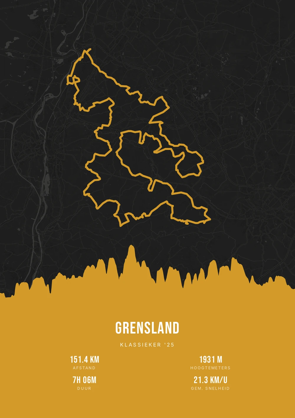
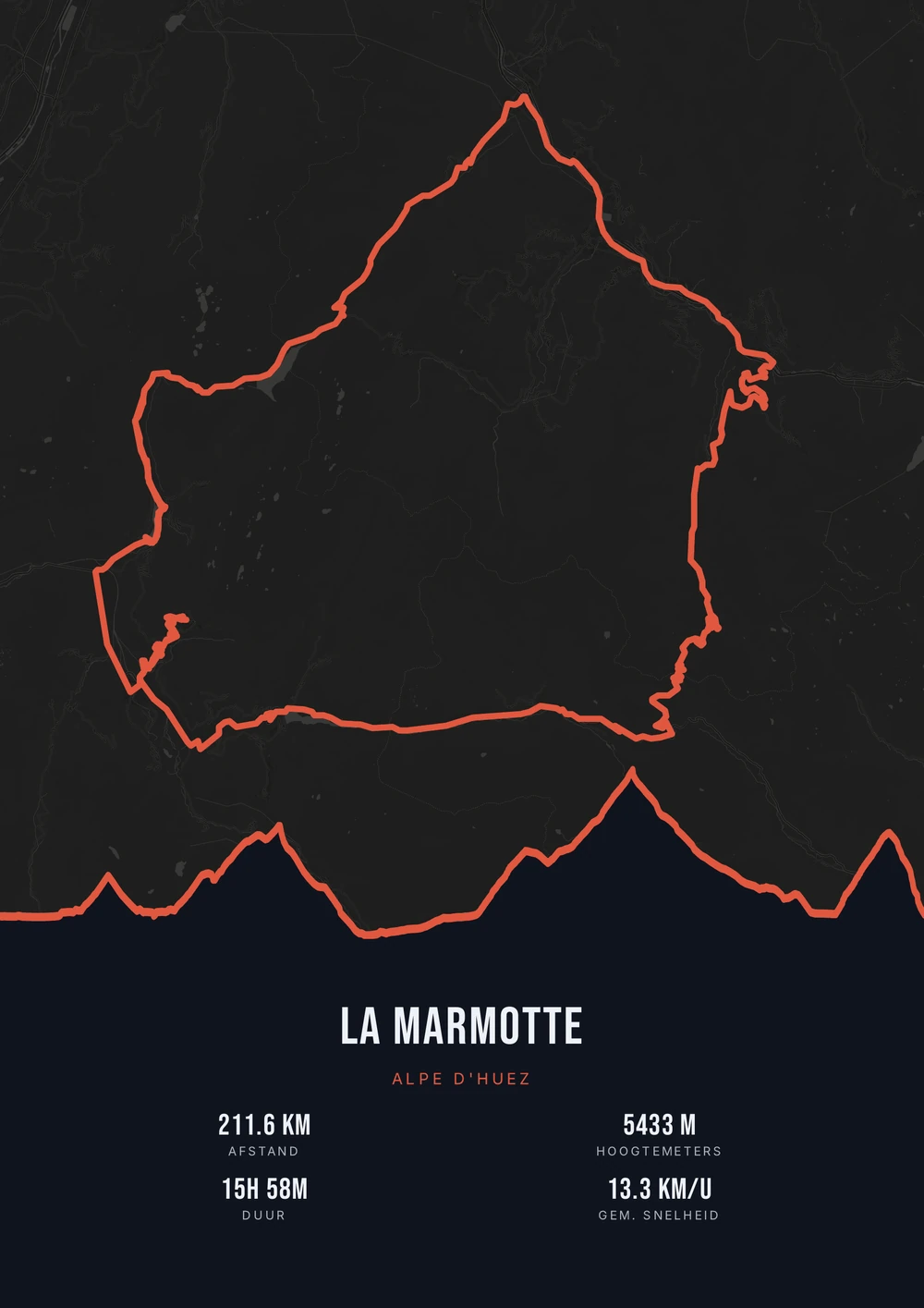
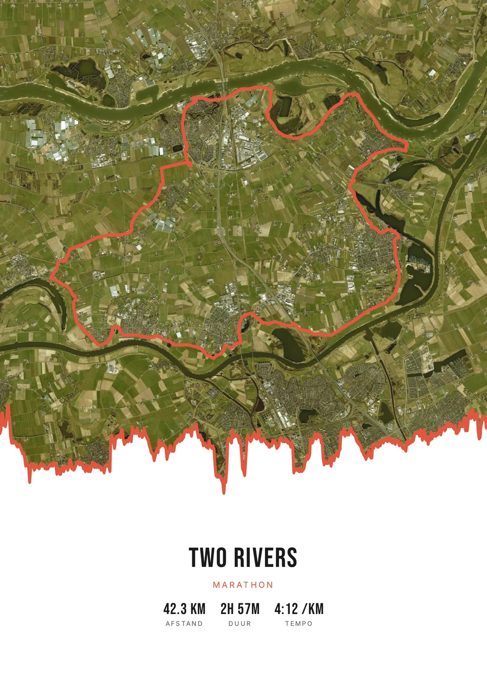
One ride. Endless looks.
Different rides, each in its own palette, map style and elevation gradient.
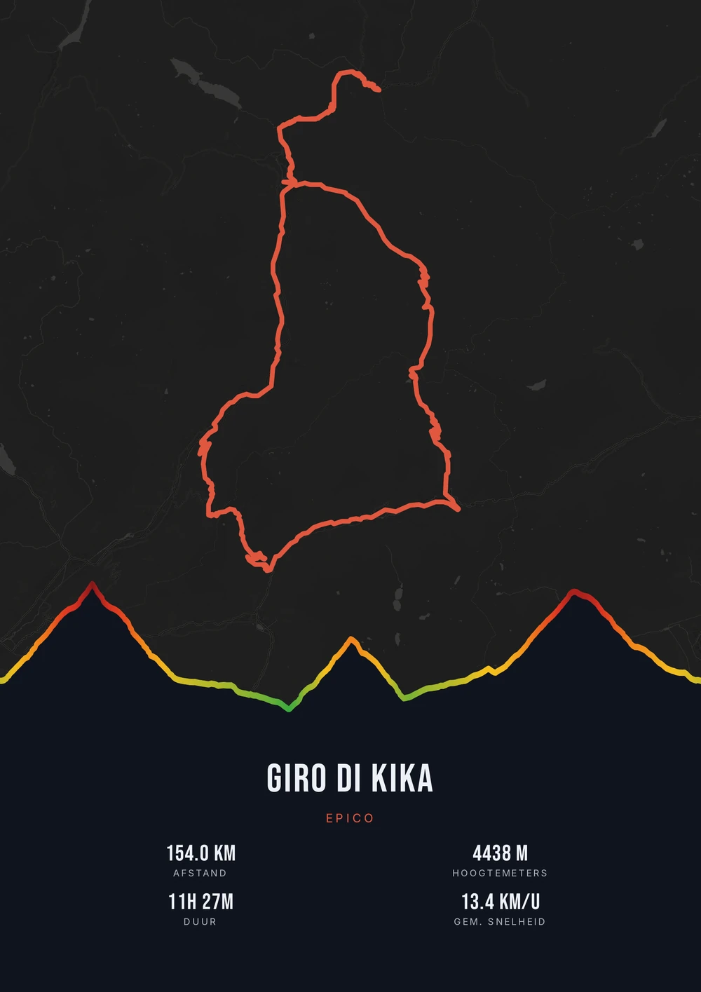
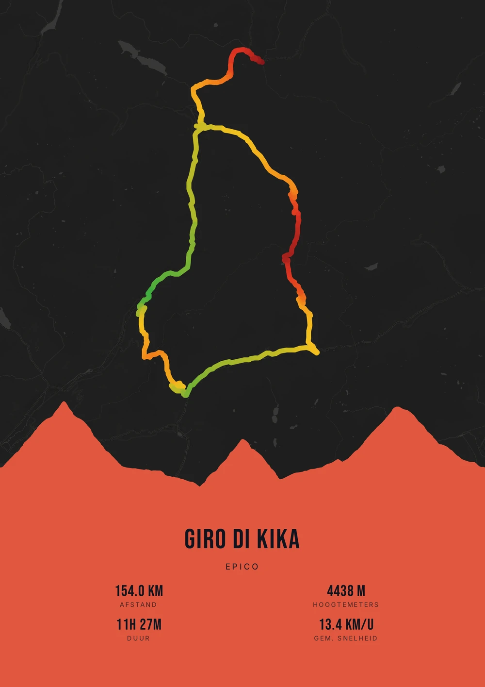
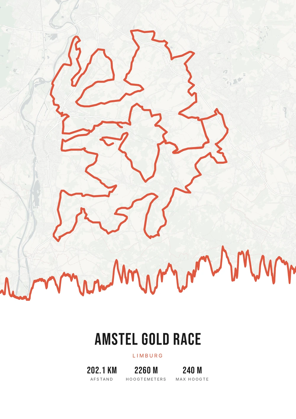
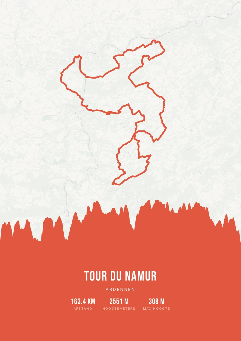
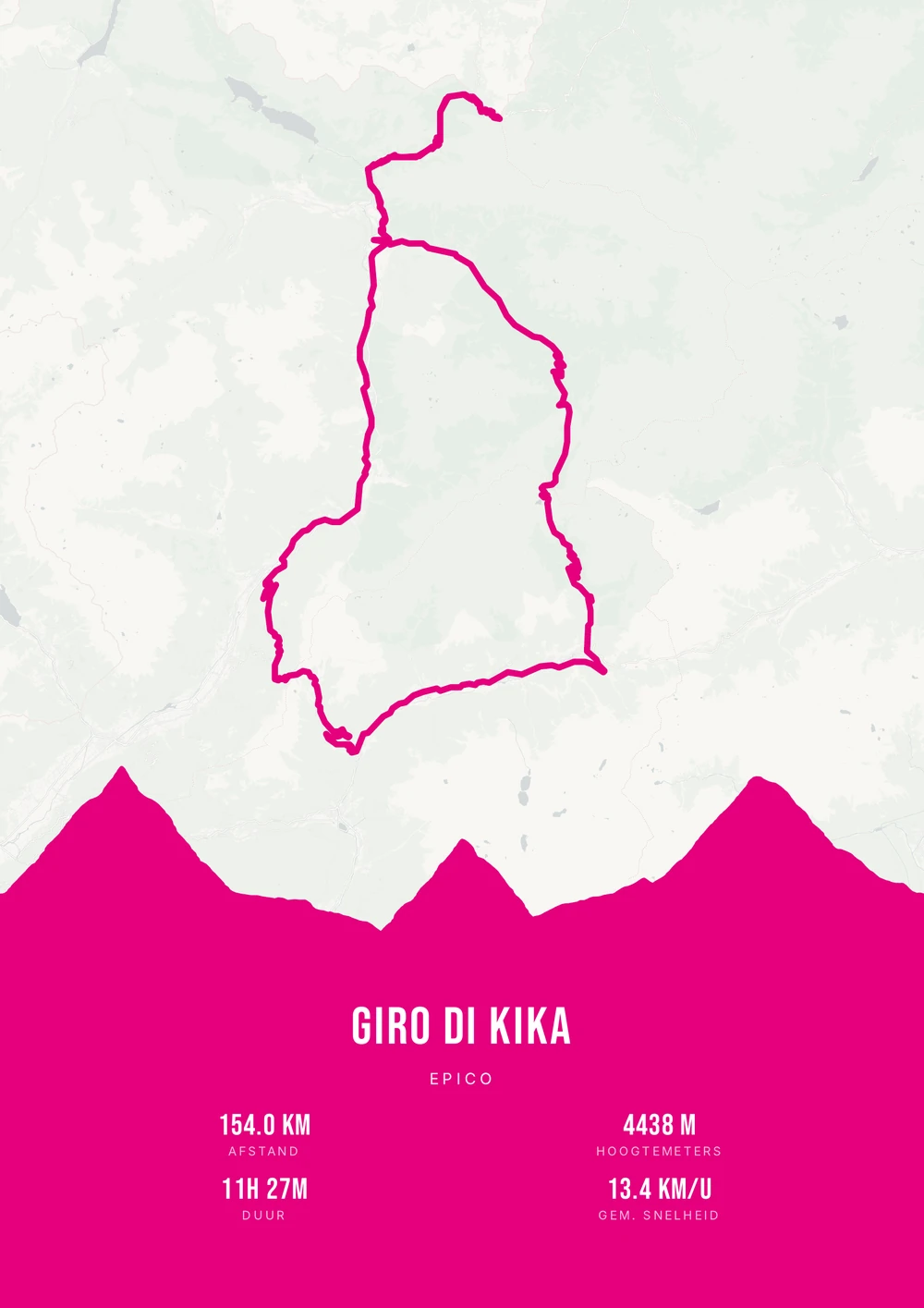
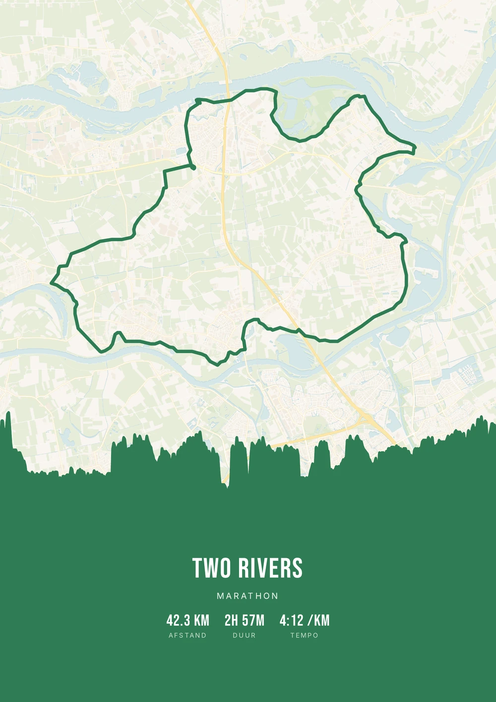
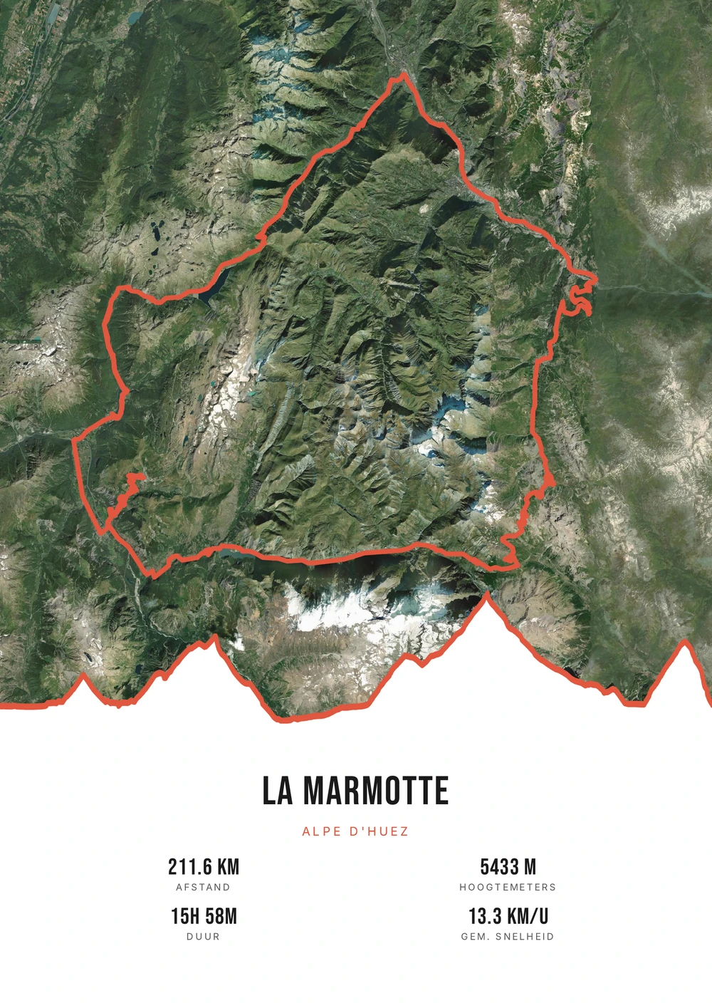
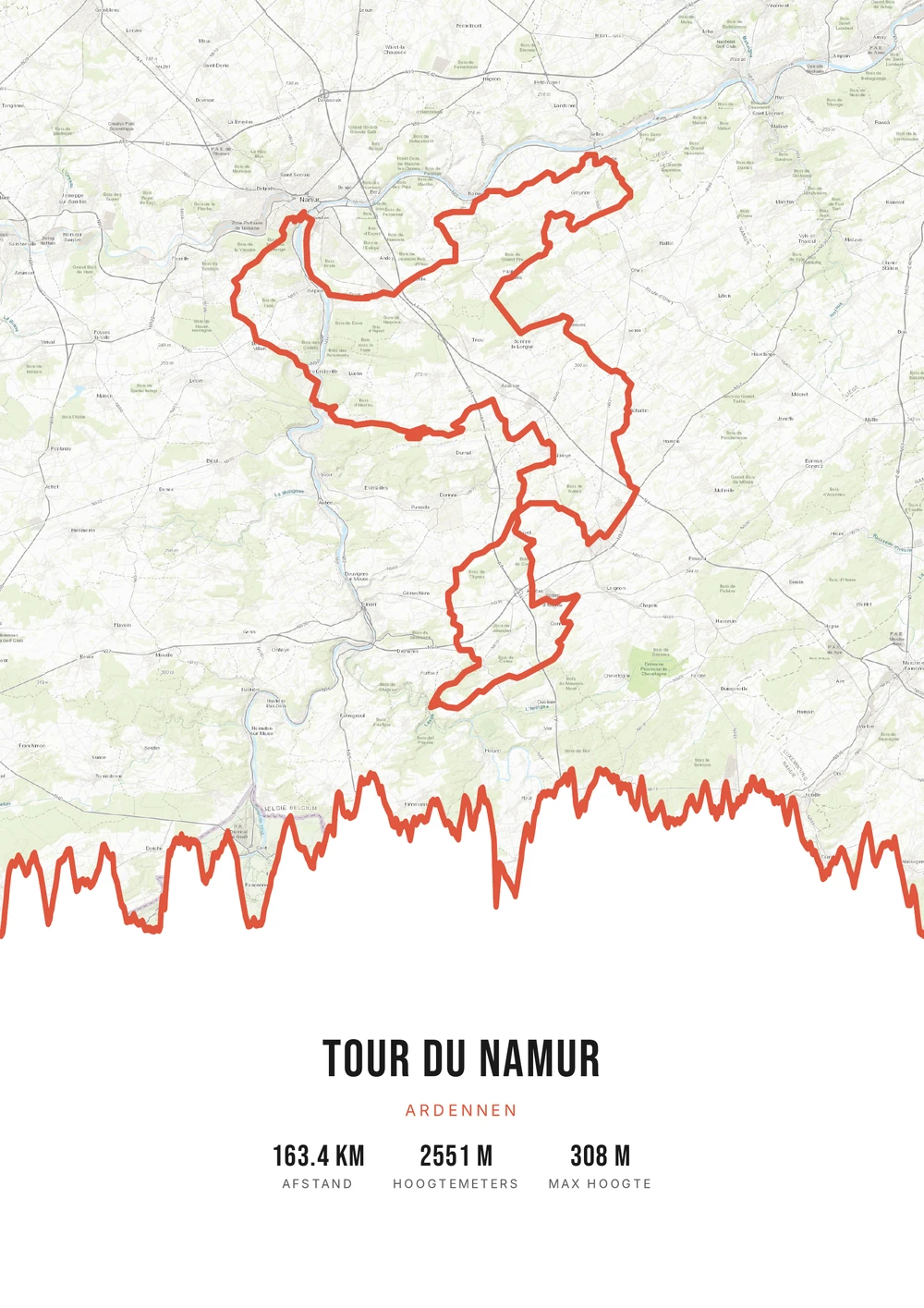
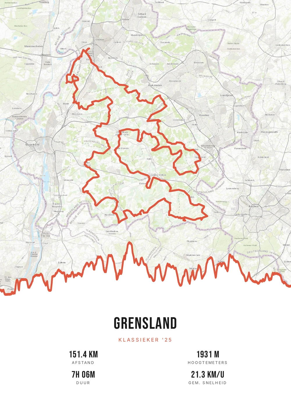
From gravel to wall
Gravel is about where you end up
Gravel riding is not road cycling with wider tyres. It is about routes that don't stick to roads: dykes, forest tracks, old railway lines, sand flats. A gravel ride is therefore more often an exploration than a training session with a target time.
On a poster that produces a different kind of image. Where a road ride tends to follow neat lines, a gravel route winds across the map and passes through areas with hardly any roads at all. With a calm map style that line stands free — which is exactly why riding it was worth it.
Bikepacking belongs here too: several days in a row, each with its own file. Those can be merged into one continuous route with the distance and elevation added up. You get the print-ready PDF and decide what size to print.
The source file, not one print
Not a single print, but the high-quality PDF file itself — print and frame it however you like.
-
Endlessly your style
Switch palette, map style and stats for free until it's right.
-
Print & frame yourself
At home on A4 or large at the print shop — today and again in five years.
-
Multi-day adventures too
Merge stages into one route and put your whole bikepacking trip on a single poster.
Coming soon: broader packages and extra sizes.
Gravel route → poster
From gravel route to poster: how it works
All you need is the GPX file of your gravel ride — from Strava, Garmin or Komoot.
Which gravel ride works on a poster?
Rides whose line already tells you something.
-
The long Sunday ride
A day from door to door over tracks you didn't know yet.
-
Bikepacking
Several days merged into one route, from departure to arriving home.
-
A gravel event
A ride or race with a course competitors recognise.
-
A region
A route that crosses one area completely — a forest, a dyke, a border.
Gravel → poster
Frequently asked questions
-
How do I make a poster of my gravel route?
Upload the GPX file of your ride to Route Frame, pick a style and download the print-ready PDF.
-
Does it work with Strava, Garmin and Komoot?
Yes. As long as you can export a GPX file it works — from Strava, Garmin, Komoot or your bike computer.
-
Can I put a bikepacking trip on one poster?
Yes. Merge the separate stages into one route and turn it into a single poster.
-
Does a forest route stay readable on the map?
Yes, and usually even better with a calm map style. Forest tracks aren't always on the map, which lets the route line stand out on its own.
-
Does it work for a multi-day bikepacking trip?
Yes. Merge the GPX files of the days into one continuous route; the total distance and elevation gain are added up.
-
Can I use a gravel route from a route planner?
Yes. A planned route from Komoot works just as well as a ridden track — handy if your watch died along the way.
Ready to put your gravel route on the wall?
Upload your GPX and watch your poster appear in seconds.
Opens the editor with a real 151 km ride through South Limburg. Everything is editable, and you can still upload your own GPX afterwards.